Members Meeting: Forgotten Overberg Routes
March 14, 2022Heritage Resource Management: Implications and Implementation at the Local Level.
April 21, 2022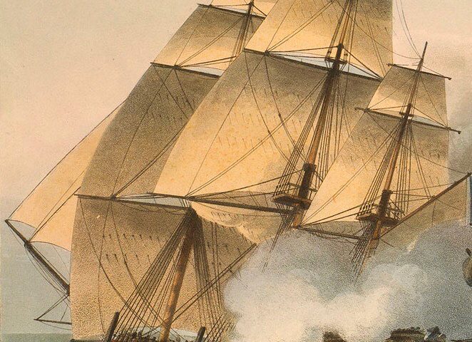
On-line access to historic printed books and archives have finally answered the question, “Who really was the Walker of Walker Bay?”
Read the original article by Robin Lee: https://www.hermanus-history-society.co.za/2017/01/30/who-was-walker-of-walker-bay/
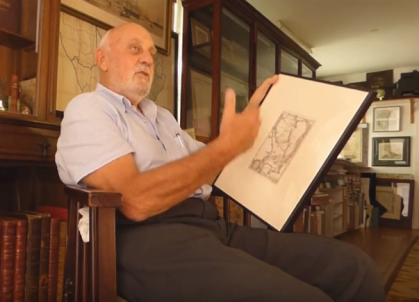
Christopher Barends, the author of this article, was born in Cape Town and grew up in Camps Bay. A graduate of UCT he now lives on the north downs in Surrey, UK and is a keen genealogical researcher in his spare time.
“ This piece of research is dedicated to the memory of Audrey McGeorge (“Max”), who lived overlooking the shores of Walker Bay, whence she set off on her ultimate camino ”
Who really was the Walker of Walker Bay?
I recently came across Robin Lee’s suggestion from 2017 that Walker Bay was named for Admiral Baldwin Wake Walker, Naval Commander-in-Chief of the Cape of Good Hope.
The trouble with this theory is that printed sources refer to Walker (or Walker’s) Bay long before Admiral Walker arrived in Simonstown in 1861.
I have traced references to Walker Bay in
- 1851 – a Supreme Court case (Cape of Good Hope)
- 1855 – John Purdy “The New Sailing Directory for the Ethiopic or Southern Atlantic Ocean”
- 1859 – Henry Hall “A Manual of South African Geography”
Robin himself acknowledges that local histories have previously ascribed the name to “a certain Walker, a surveyor in the Royal Navy”. But, Robin continues, subsequent research has failed to identify which surveyor is referred to.
Here indeed was a challenge for a researcher. Who was this Walker, surveyor in the Royal Navy?
The earliest reference I could find was 1833 in Narrative of Voyages to Explore the Shores of Africa, Arabia, and Madagascar by the famous chart maker and author of sailing guides William Fitzwilliam Owen:
“ To the eastward of Cape Hangklip is also a large bay, which had escaped the notice of navigators until lately discovered by Mr Walker, a Master in the Navy. ”
Note that he does not call it Walker Bay, but could this be the origin of that name?
(“Master” by the way was an historic term for a naval officer trained in and responsible for the navigation of a sailing vessel.)
In Captain James Horsburgh’s classic work, The India Directory, or, Directions for Sailing to and from the East Indies (various editions but I referred to the 6th Edition 1852) there are extensive references to a William Walker’s comments and notes on coastal features and dangers on the southern coast of the Cape. So this gives us a first name of William.
After some digging, I managed to find the chart that William Fitzwilliam Owen must have referred to. It is listed in an 1851 catalogue of charts and surveys produced by the East India Company under the title: “South East Coast of Africa, with a plan of the river Knysna by Mr William Walker RN, 1818” (note 1)
Armed with this information I was guided by Jill Geeber’s study of the Archives of the East India Company (note 2) to notes of meetings of the Committee of Shipping in 1818 (note 3):
29 Jul 1818
Letter from William Walker RN, commanding HM store ship Despatch, submitting manuscript chart of south east coast of Africa from Cape of Good Hope to Algoa Bay and plan of River Knysna, read. Resolved that it be referred to Cpt Horsburgh and that he be desired to report thereon
19 Aug 1818
Letter from Cpt James Horsburgh of 13th instant, stating that Mr Walker’s chart of coast of South Africa and his survey of River Knysna (which were referred to him in consequence of this Committee’s resolution of 29th ultimo) have been executed with much care, and experience; that chart if engraved, would prove valuable addition to Marine Atlas, supplied to EIC ships, and that survey of River Knysna if engraved might be of use if that River affords place of shelter for ships of a moderate size, being read. Cpt Horsburgh attended Committee and spoke highly of utility of two works, and being withdrawn, resolves that said charts be engraved in usual way
So here we have confirmation of an 1818 chart surveyed by William Walker RN of HM Storeship Despatch, produced by the East India Company and recommended by one of the foremost maritime surveyors of the day, Captain James Horsburgh.
This gave me what I needed to unlock the identity of the mystery Surveyor who produced the first published chart of the Walker Bay coastline.
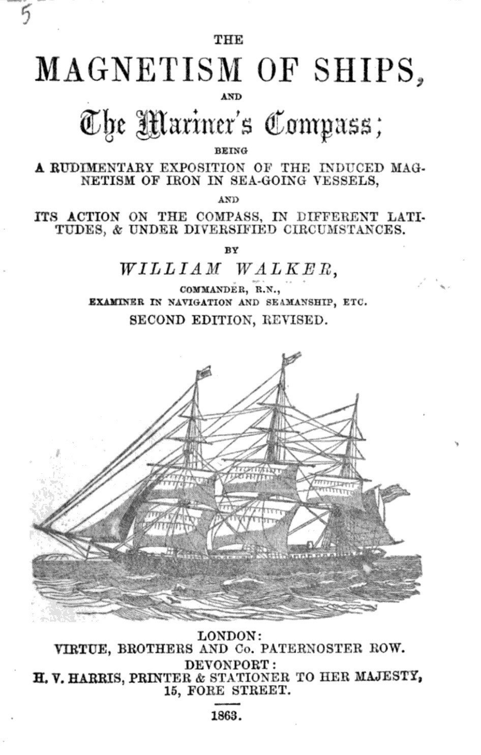
He was Commander William Walker, RN, who entered the Royal Navy on 29 January 1807, as Midshipman, on board the frigate HMS Psyche in which he spent five years in the East Indies and participated in a number of significant colonial engagements including in Java and Mauritius. He then served on the frigate Le Rhin as Master’s Mate (a rating he had already attained) off the north coast of Spain and the West Indies from 1812 and was promoted to the rank Master on 10 August 1814. In early January 1815 he joined the Royal Oak, flag ship of Rear-Admiral Pulteney Malcolm engaged in operations against New Orleans, and received his commission as a Lieutenant on 15 February 1815. He commanded HM Storeship Despatch between 1817 and 1821, was later promoted to the rank Commander, and became first Master Attendant (responsible for securing navy vessels in port)and later Queen’s Harbour-Master at Devonport, Plymouth. He was also Examiner in Navigation and Seamanship, a member of the Marine Board, Plymouth and the author of The Magnetism of Ships and the Mariner’s Compass (1853) and of course the chart “South East Coast of Africa, with a plan of the river Knysna” (1818).
In giving evidence to a Commission in 1861 he described himself as follows (note 4):
Went to sea in 1797 in the Mercantile Marine and served 10 years in it, then to the Royal Navy. Commanded her Majesty’s Steamship “Despatch” five years, but have had separate charge and Command of some 40 ships at sea in the Royal Navy of every class of sailing as a Master Attendant. Pretty well acquainted with the coasts of the United Kingdom and of Europe, also with the Cape of Good Hope navigation.
He writes about his time on HMS Despatch in his book The Magnetism of Ships:
In February 1817 the author was appointed to command HM Storeship Despatch to be employed in the conveyance of naval timber from a forest on the south-east coast of Africa to the dockyard at Simon’s Town Cape of Good Hope. In this vessel he made fourteen trips round Cape Aguilhas (sic) …
To summarise: We now know with certainty that William Walker surveyed the Coast between Knysna and the Cape in 1817-1818 while transporting timber from Knysna to Simonstown. His chart was published in 1818 and he is credited by 1831 with discovering a large bay east of Cape Hangklip.
What I have not found is the smoking gun – the first reference in print to Walker Bay by the name Walker’s Bay. Did he give it that name on his chart? Or did users of that chart refer to it thus, as it was without a name? I do not currently have access to libraries that have copies of the 1818 chart. I will keep searching.
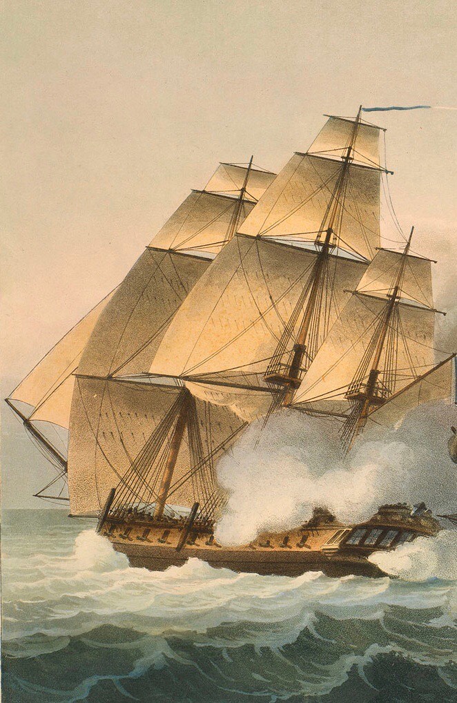
HMS Psyche on which Walker served for 5 years in the East.
But I think we can safely say, beyond doubt, here is the Walker of Walker Bay.
—————————-
Post Script: In November 1819 at the time prospective 1820 settlers were writing to Lord Bathurst, Secretary of State for the Colonies, with applications for settlement, Walker applied for the potential post of Harbour Master of Knysna, on the strength of his Chart. His application was dismissed. (note 5)
His Majesty’s Naval Transport “Dispatch”
Woolwich
Nov 19 1819
Sir,
Having been employed in this vessel on the S.E. Coast of Africa in conveying Timber from the forest in George’s district to the naval yard at Simon’s Town in the years 1817 and 1818, during which time I surveyed the coast from the Cape of Good Hope to Algoa Bay and also the River Knysna and not doubting that the Knysna will soon become a place of considerable importance.
I beg leave to tender my services as Harbour Master of that Port provided such an appointment should be in contemplation either now or at a future period.
I hope it will be considered that I have a claim to that appointment being the first that sailed up the River and proved by experience that it was a place of safety [and] gone in and out at all times of tides in [obscured] vessels. Copies of my charts may be [seen] at the Admiralty and for testimonials of my character and abilities I beg leave to refer you to the Commissioners of His Majesty’s Navy.
Sir, I am your most obedient humble servant
William WALKER
Master RN
[Note from Lord Bathurt’s deputy Henry Goulburn: Lord B has at present not any intention of recommending such an appointment & consequently can enter into no engagement with respect to it.]
REFERENCES:
(1) House of Commons (August 1851) “Statement of the Nature and Locality of the Maritime Surveys undertaken by the East India Company since the year 1820”. Return, East India (Public Works India): Ordered to be printed by the House of Commons Volume 2 page 659
(2) Jill Louise Gerber (1998) “The East India Company and Southern Africa: A guide to the archives of the East India Company and the Board of Control, 1600-1858” https://discovery.ucl.ac.uk/id/eprint/1349288/3/340191_vol1.pdf
(3) L/MAR/1/7 Minute., Apr 1818-Apr 1819 page 323 and pp385-6 accessible here: https://discovery.nationalarchives.gov.uk/details/r/C9668689
(4) HM Stationery Office (1861) “Report of the Commissioners Appointed to Inquire Into the Condition and Management of Lights, Buoys and Beacons”: Volumes 1-2
(5) National Archives, Kew CO48/46, 591 transcription courtesy of Sue Mackay on https://www.eggsa.org/
A Naval Biographical Dictionary by William Richard O’Byrne
Pp1240-1
WALKER. (Lieut., 1815. f-p., 9; h-p., 31.)
William Walker (b) entered the Navy, 29 Jan. 1807, as Midshipman, on board the Psyche frigate, Capts. Thos. Groube, Fleetwood Broughton Reynolds Pellew, John Edgcumbe, and Robt. Worgan Geo. Festing; under whom he was for upwards of five years employed in the East Indies. On 31 Aug. 1807 he assisted at the capture, in the port of Samarang, of a Dutch schooner of 8 guns, in company with a large merchant-brig; and on the day following he was present at the taking, with two other vessels (the Resolutie armed merchant-ship of 700 tons, richly laden, and the Ceres, a remarkably fine brig in the Dutch Company’s service, of 12 guns and 70 men) of the Scipio corvette of 24 guns. He afterwards accompanied Brigadier-General Malcolm as Ambassador to the Persian court; aided in suppressing a mutiny among the native troops at Travancore; made a voyage to Macao in quest of two French frigates; suffered many severe hardships while returning thence to Prince of Wales Island; again escorted Brigadier-General Malcolm to the Persian Gulf; and co-operated in the reduction of the Isle of France and Java. On his arrival home in Aug. 1812 he joined as Master’s Mate (a rating he had already attained) the Rhin 38, Capt. Chas. Malcolm; in which frigate, after affording support to the patriot cause on the north coast of Spain, he proceeded with convoy to the West Indies. In Jan. 1815, he removed to the Royal Oak 74, flag-ship of Rear-Admiral Pulteney Malcolm, at the time engaged in the operations against New Orleans; and in the following May he was presented with a commission bearing date 15 Feb. preceding. He has since been on half-pay. Agents – Messrs. Stilwell.